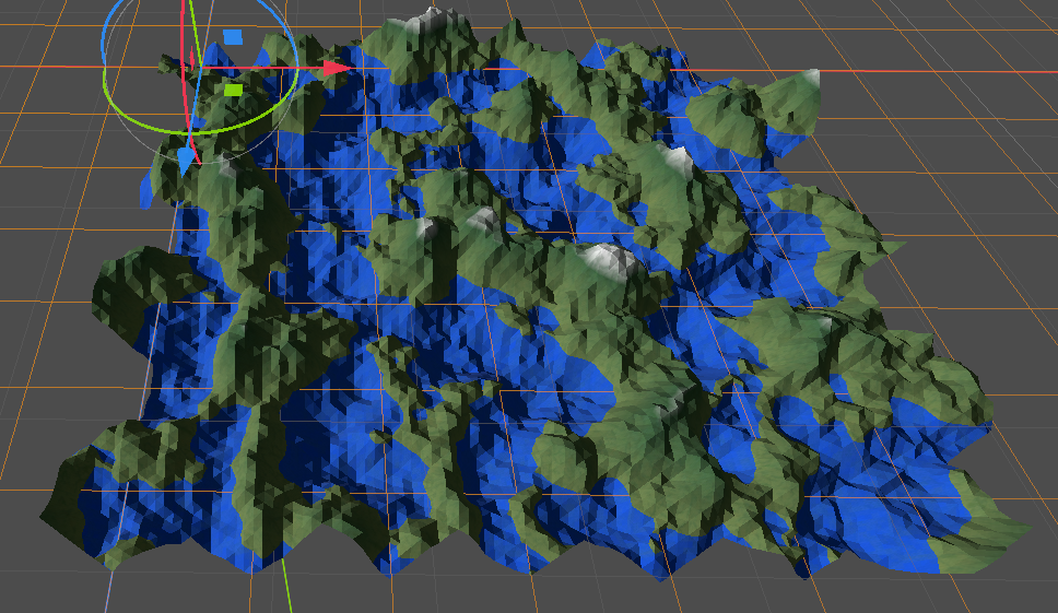
Ridge-based terrain
Features
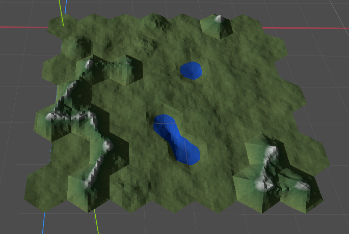
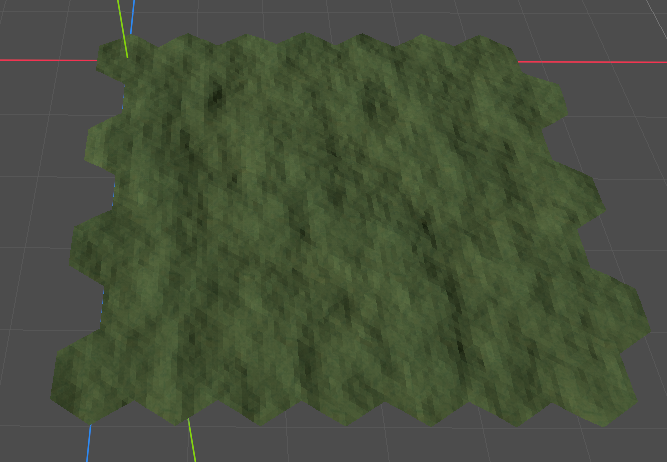
Different types of tiles: plain, hill, water, mountain. Easy to add new type.
Adjustable number of rows/columns of terrain.
Adjustable boundaries: top of mountains, bottom of water, hill level.
Adjustable curvature of mountains.
Adjustable tessellation level of hexagons.
Possible to clip first/last row/column to make terrain rectangular
Separate noises to make:
Different configuration of terrain types.
Shapes of mountain/water tiles
Shapes of hill/plain tiles
Neighbours, ridges and borders
Each hexagon may have up to 6 neighbours. It doesn’t matter for some types, e.g. “plain” and “hill”, and does matter for other, i.e. “moutain” and “water”. Ridges are calculated based on neighbours and their configuration
Ridge is a simple polygonal chain. It can be tuned in some way. Interface to tune is partially present in GUI, see “Variation Min(Max) bound”
Border is one of 6 bounds of hexagon if across this line there is no neighbour from the same group. Let’s illustrate described above for groups of mountain hexagons:

Generation procedure
Ridge-based generation uses groups of hexagons. There are 4 different types: water, plain, hill, moutain. After ROWxCOLUMN matrix of BiomeTile’s is calculated following is done:
Assign mapping from CubeCoordinate of hexagon to hexagon.
Group different types of hexagons. It’s processed by DSU class which implements naive disjoint set union algorithm.
Assign initial heights to vertices of all hexagons. Specific noise function is used for this. Let’s call it “Plain noise”
For each hexagon final heights are calculated:
Generated noise values are normalized. In code it’s called “shift” and “compress”
Based on type of hexagon, heights are modified: there is no modification for plain hexagon, trivial modification for hills, and ridge based modification for mountains and water. Linear interpolation is used for mountains and cosine for water